Modern Kota
Chambal Valley Project: The Four Dams That Shaped Kota
Written by Kota Rajasthan Editorial Team · Updated
The Chambal Valley Project is the reason modern Kota looks the way it does. Between 1954 and 1972, Madhya Pradesh and Rajasthan built three dams and a barrage on the Chambal River, turning a wild gorge river into a source of hydroelectric power and a canal network that irrigates a large part of Hadoti. The project gave Kota cheap power and water, which in turn drew the industries that changed it from a princely capital into an industrial city. This guide explains the four structures, when they were built, what each one does, and how a visitor can see them today.
Why the Chambal was chosen
The Chambal rises in the Vindhya hills near Mhow in Madhya Pradesh and flows north to join the Yamuna. On the way it drops about 625 metres between its source and Kota, and for part of its course it runs through a deep gorge. That combination of a big fall in height and a narrow valley made it an obvious site for hydroelectric dams. Until the 1950s, however, the river had not been used for any major development work.
After independence, the Chambal River Valley Development became one of the landmark schemes of India’s First Five-Year Plan, launched in 1951. Because the river runs through both states and forms part of their border, it was planned as a joint initiative of Madhya Pradesh and Rajasthan. A three-stage proposal drawn up in 1953 called for three dams to generate power and a barrage downstream at Kota to divert the stored water into irrigation canals.
For the river itself, its legends and its wildlife, see our pages on the Chambal River and its ancient name, the Charmanvati.
Stage one: Gandhi Sagar Dam and the Kota Barrage
Gandhi Sagar Dam in Mandsaur district of Madhya Pradesh is the first and largest of the four. It is a masonry gravity dam about 62 metres high, with a gross storage capacity of around 7.3 billion cubic metres. Prime Minister Jawaharlal Nehru laid the foundation stone on 7 March 1954 and the main dam was completed in 1960. A powerhouse at its foot has five 23 MW units, 115 MW in all. The reservoir is also important for birds: it qualifies as an Important Bird Area because waterbird numbers at times exceed 20,000.
The Kota Barrage was built at the same time, about 104 km downstream, where the Chambal leaves its gorge and enters the plains at Kota. Work started in 1953-54 and the barrage began functioning in 1960. It is an earth and masonry structure with a concrete spillway and 19 gates. Its job is not power but diversion: it sends water into a right main canal and a left main canal, and the whole canal, branch and distribution system runs to roughly 2,342 km. The water received at the barrage is shared equally between Rajasthan and Madhya Pradesh. The barrage also carries a road between the two halves of Kota. Our Kota Barrage page covers visiting it.
Stage two: Rana Pratap Sagar Dam
The second stage added the Rana Pratap Sagar Dam at Rawatbhata in Chittorgarh district, 48 km below Gandhi Sagar. Its extra storage raised the area that the Kota canals could irrigate from about 445,000 hectares to about 567,000 hectares, and its powerhouse added four 43 MW units, 172 MW in all. The stage was completed in 1970. Because the stored water comes from Gandhi Sagar, the power from Rana Pratap Sagar is shared equally with Madhya Pradesh.
Rawatbhata is also the gateway to the Baroli temples and to Bhainsrorgarh Fort, so the dam is easy to combine with a heritage day out. See our Rana Pratap Sagar Dam page for that trip.
Stage three: Jawahar Sagar Dam
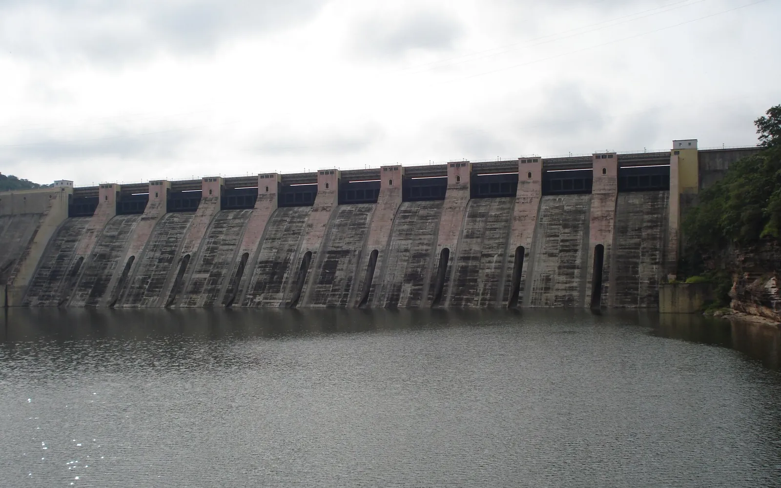
The last piece was the Jawahar Sagar Dam, an intermediate dam between Rana Pratap Sagar and the Kota Barrage. It is a concrete gravity dam about 45 metres high and 393 metres long, located roughly 29 km upstream of Kota city and 26 km below Rana Pratap Sagar. It was commissioned in 1972 with three 33 MW generating units.
Published figures for its total output differ. Some summaries give 99 MW, the sum of the three units, while others give 60 MW. We have kept both figures here rather than choosing one; if you need the exact rated capacity, check the Rajasthan state power generation utility.
The forest around the reservoir is protected as the Jawahar Sagar Wildlife Sanctuary, one of the three sanctuaries that make up the Mukundara Hills Tiger Reserve.
The four structures at a glance
| Structure | Where | Type and height | Working from | Main role |
|---|---|---|---|---|
| Gandhi Sagar Dam | Mandsaur district, Madhya Pradesh | Masonry gravity, about 62 m | 1960 | Storage, 115 MW power |
| Rana Pratap Sagar Dam | Rawatbhata, Chittorgarh district | Dam with toe powerhouse | 1970 | Storage, 172 MW power |
| Jawahar Sagar Dam | About 29 km upstream of Kota | Concrete gravity, about 45 m | 1972 | Power (3 x 33 MW) |
| Kota Barrage | Kota city | Earth and masonry, 19 gates | 1960 | Diverts water into canals |
What the project did for Kota
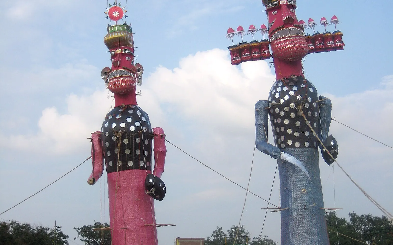
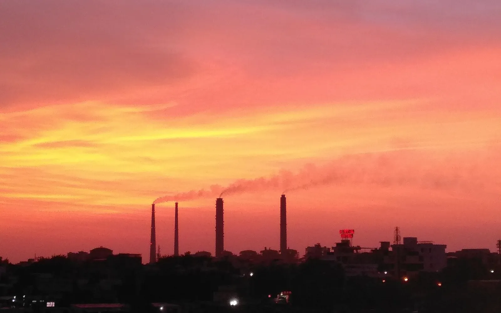
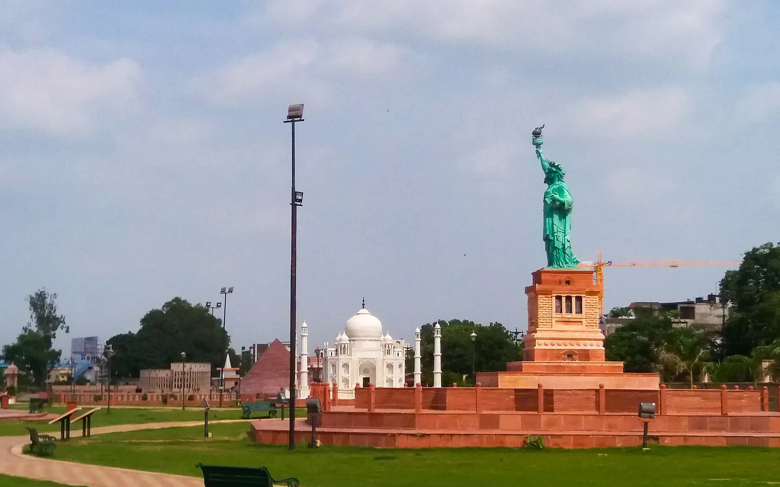
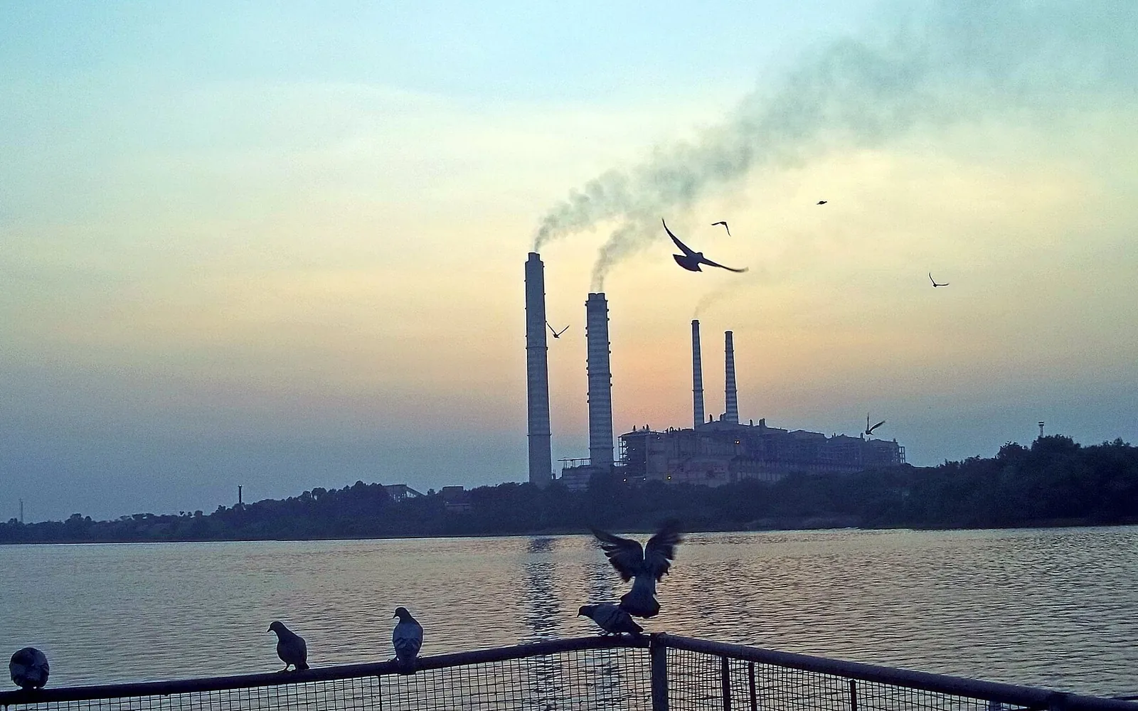
Before the dams, Kota was a walled princely capital on the river. Reliable power and irrigation changed that within a generation. The canals spread double cropping across the black-soil plains of Hadoti, and cheap power helped bring fertiliser, chemical and engineering plants to the city. Our page on modern Kota follows that story into the coaching era.
The project also changed the river. Flows below the barrage now depend on releases from upstream, and the famous monsoon spectacle at Kota happens when the barrage gates are opened. Those releases can be sudden: there have been deaths among people bathing or washing downstream when warnings did not reach them. Below Kota the river enters the National Chambal Sanctuary, protected for the gharial.
Seeing the dams as a visitor
- Kota Barrage is in the city and you will probably cross it anyway. The best time to look is the monsoon, when the gates are open and the spray rises over the road.
- Garadia Mahadev, upstream of Kota, gives a view down into the gorge the dams were built to use. See Garadia Mahadev viewpoint.
- Rana Pratap Sagar makes a long day trip with Baroli.
- The dams are working power stations. Photography and access rules can change at short notice, so stay on public roads and follow the instructions of staff.
The Kota Chambal Riverfront, opened in 2023 just below the barrage, is the newest chapter in the city’s relationship with the river.
Frequently asked questions
What is the Chambal Valley Project?
A multipurpose river scheme on the Chambal planned jointly by Madhya Pradesh and Rajasthan in the 1950s. Three dams store water and generate hydroelectric power, and the Kota Barrage downstream diverts the released water into canals for irrigation.
Which dams are part of the Chambal Valley Project?
Gandhi Sagar Dam in Mandsaur district of Madhya Pradesh, Rana Pratap Sagar Dam at Rawatbhata in Chittorgarh district, Jawahar Sagar Dam upstream of Kota, and the Kota Barrage at Kota city.
When was the Kota Barrage built?
Work began in 1953-54 and the barrage started functioning in 1960, at the same time as Gandhi Sagar Dam, as stage one of the project.
How much power does Jawahar Sagar Dam produce?
It has three generating units of 33 MW each. Published summaries differ on the total, some giving 99 MW (the sum of the units) and some 60 MW, so check the state power utility for the current rated output.
Can tourists visit the Chambal dams?
The Kota Barrage is crossed by a public road in the city and is busiest when the gates open in the monsoon. The dams themselves are working infrastructure with restricted areas, so view them from public roads and viewpoints and follow any local signs.
Sources
Editorial team
The KotaRajasthan.net team writes about the places, history and festivals of Kota and Hadoti, and corrects pages when readers point out changes.