Wildlife and the Chambal
Chambal River in Kota: Course, History and Where to See It
Written by Kota Rajasthan Editorial Team · Updated
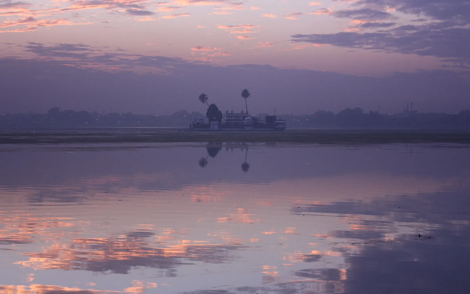
The Chambal is the river that defines Kota. Flowing down from the Vindhyas through Madhya Pradesh and Rajasthan, it is celebrated as one of the cleanest and least polluted major rivers in India, and around Kota it is everywhere, in the barrage and its canals, in a riverfront promoted as the largest in the world, in the gardens along its banks, and in the wildlife that thrives in its clear waters.
Along its course near the city you can boat past gharials and crocodiles, gaze down into its dramatic gorges at Garadia Mahadev, cool off in its gardens, or simply watch the light change over the water at the riverfront. The Chambal’s ravines and canyons have shaped both the landscape and the history of the Hadoti region for millennia.
The river’s course
The Chambal is a tributary of the Yamuna and part of the Ganga system. It is about 1,024 km long. It rises in the Janapav hills on the northern slopes of the Vindhyas, south-west of Mhow in Indore district of Madhya Pradesh, and flows north through Madhya Pradesh before entering Rajasthan. Upstream of Kota it cuts a deep gorge past Chaurasigarh; in the roughly 157 km from Chaurasigarh to Kota the bed falls by about 91 m, which is why this stretch was ideal for dams. Below Kota it runs across flatter country, forms the border between Rajasthan and Madhya Pradesh and then between Madhya Pradesh and Uttar Pradesh, and joins the Yamuna in Jalaun district.
Its main tributaries in and near Hadoti are the Kali Sindh, the Parbati, the Banas and smaller rivers such as the Alnia and Mej. The Kali Sindh and Parbati together with the Chambal form the triangular alluvial plain on which much of Hadoti’s farmland lies.
History and legend
The Chambal is old in human memory as well as in geology. In the Sanskrit epics it is the Charmanvati, linked in the Mahabharata with the sacrifices of King Rantideva, and a popular belief says Draupadi’s curse kept people from its banks. Our page on the Charmanvati river separates the texts from the folklore.
For the Hada Rajputs the river was a frontier and a highway. Kota grew on its east bank, with the Garh Palace overlooking the water, and pilgrimage towns such as Keshoraipatan gathered on its ghats.
In the 20th century the river was harnessed by the Chambal Valley Project: the Gandhi Sagar dam in Madhya Pradesh, then Rana Pratap Sagar, Jawahar Sagar and the Kota Barrage, which together supply power and irrigation and fuelled Kota’s growth as an industrial city.
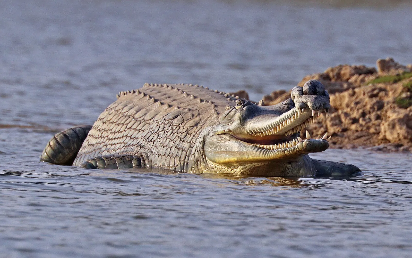
Downstream, long stretches of the river are protected within the National Chambal Sanctuary, a refuge for the critically endangered gharial, the mugger crocodile and the Indian skimmer.
What to see at Chambal River
- The gorge upstream of the city, best seen from Garadia Mahadev
- Gharials, mugger crocodiles and birdlife on a Chambal safari
- The Kota Chambal Riverfront and Chambal Garden in the city
- The Kota Barrage, especially when its gates open in the monsoon
- The ravines and farmland of the lower valley
Is the Chambal clean?
The Chambal is often described as one of the least polluted large rivers in northern India, largely because its deep gorges and ravines kept dense settlement and industry away from many stretches. That reputation applies best to the protected sanctuary reaches. Around Kota itself the river receives city and industrial discharge, so do not drink untreated water, and swim only where it is clearly safe and permitted, never near the barrage or in the monsoon current.
Visiting Chambal River: practical details
| Detail | Information |
|---|---|
| Where | Kota city |
| Distance from Kota | About 1 km |
| Best time to visit | October to March |
| Timings | Accessible year-round; boat rides in daylight hours |
| Entry | Free to view; charges for boating |
| Getting there | The river runs right through Kota, accessible from the riverfront, Chambal Garden and barrage areas near the city centre. |
Distances are approximate road distances. Timings and entry charges change from season to season, so confirm them locally or with the district tourist office before you set out.
Combine Chambal River with nearby places
- Kota Chambal Riverfront: A grand, kilometres-long riverfront along the Chambal, opened in 2023, promoted by its builders as the world’s largest and lined with monumental stone art.
- Chambal Garden: A well-loved riverside garden on the banks of the Chambal, known for its pond, boating and glimpses of gharials and crocodiles.
- Kota Barrage: A large barrage across the Chambal River, part of the Chambal Valley Project, best seen when its gates are opened during the monsoon.
- Garadia Mahadev Viewpoint: A breathtaking clifftop viewpoint over the Chambal gorge, with a Shiva temple and one of the most spectacular panoramas in Rajasthan.
Frequently asked questions
How do I get to Chambal River from Kota?
The river runs right through Kota, accessible from the riverfront, Chambal Garden and barrage areas near the city centre.
When is the best time to visit Chambal River?
October to March.
What are the timings and entry charges for Chambal River?
Timings: Accessible year-round; boat rides in daylight hours. Entry: Free to view; charges for boating. Both change, so check locally before you go.
Where does the Chambal river start and end?
It rises in the Janapav hills of the Vindhyas, south-west of Mhow in Indore district, Madhya Pradesh, and joins the Yamuna in Jalaun district, Uttar Pradesh, after about 1,024 km.
What is the old name of the Chambal?
Charmanvati (or Charmanyavati), the name used in the Mahabharata.
Sources
Editorial team
The KotaRajasthan.net team writes about the places, history and festivals of Kota and Hadoti, and corrects pages when readers point out changes.